


Bluesky's Top 10 Trending Words from the Past 10 Minutes:
️⚠️💨2 - amsterdam
️⚠️💨1 - viernes
️⚠️💨1 - freitag
4th - доброе
5th - ukraine
6th - friedrich
7th - swifties
8th - paperwork
9th - merz
10th - knitting
(tap/click to see all posts on Bluesky featuring that word!)
#ListenToBlackVoices


November 8, 2024 at 6:40 AM


Bluesky's Top 10 Trending Words from the Past 10 Minutes:
️⚠️💨2 - ravens
️⚠️💨1 - swiftie
️⚠️💨1 - deportations
️⚠️💨1 - ukraine
️⚠️💨1 - baltimore
️⚠️💨1 - swifties
️⚠️💨1 - bengals
️⚠️💨1 - warren
️⚠️💨1 - heights
️⚠️💨1 - buck
(tap/click to see all posts on Bluesky featuring that word!)
#йобанарусня 🇺🇦


November 8, 2024 at 1:50 AM

Esri Ocean, Weather and Climate GIS Forum (#OWCForum) videos now available, including keynotes from @deepseadawn and @NASAEarth's Allison Leidner!
https://mediaspace.esri.com/channel/2022+Esri+Ocean+Weather+and+Climate+GIS+Forum
https://mediaspace.esri.com/channel/2022+Esri+Ocean+Weather+and+Climate+GIS+Forum

November 8, 2024 at 1:15 AM
Esri Ocean, Weather and Climate GIS Forum (#OWCForum) videos now available, including keynotes from @deepseadawn and @NASAEarth's Allison Leidner!
https://mediaspace.esri.com/channel/2022+Esri+Ocean+Weather+and+Climate+GIS+Forum
https://mediaspace.esri.com/channel/2022+Esri+Ocean+Weather+and+Climate+GIS+Forum
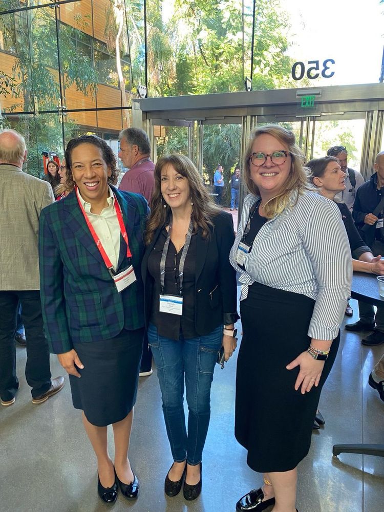
A final huge thank you to all of the attendees of this week’s #OWCForum! So many great new friends and colleagues. And as Twitter implodes … a rare photo of me in a business suit recorded here as well! 😆
November 8, 2024 at 1:41 AM
A final huge thank you to all of the attendees of this week’s #OWCForum! So many great new friends and colleagues. And as Twitter implodes … a rare photo of me in a business suit recorded here as well! 😆
As moderator @guynoll rightly points out, this talk “Climate Action and Ocean Plastic Prevention with Digital Twins” is a perfect one to end the #OWCForum by our longtime friend and insightful speaker Bill Robberson cc @TwinDitto


November 8, 2024 at 1:41 AM
As moderator @guynoll rightly points out, this talk “Climate Action and Ocean Plastic Prevention with Digital Twins” is a perfect one to end the #OWCForum by our longtime friend and insightful speaker Bill Robberson cc @TwinDitto
And their awesome flood perceptions and infrastructure impacts storymap is at https://storymaps.arcgis.com/stories/bc0e64fe0f7e4d278ac2e9bc38fbfcf3 #OWCForum @ArcGISStoryMaps
November 8, 2024 at 1:50 AM
And their awesome flood perceptions and infrastructure impacts storymap is at https://storymaps.arcgis.com/stories/bc0e64fe0f7e4d278ac2e9bc38fbfcf3 #OWCForum @ArcGISStoryMaps
It’s mixed-methods heaven here at the #OWCForum, thanks to another great @Citizen_GIS Hopkins Village, Belize study presented by @timlhawthorne’s and Lain Graham’s awesome REU undergrads!


November 8, 2024 at 1:41 AM
It’s mixed-methods heaven here at the #OWCForum, thanks to another great @Citizen_GIS Hopkins Village, Belize study presented by @timlhawthorne’s and Lain Graham’s awesome REU undergrads!

November 8, 2024 at 1:59 AM
A wonderful collaboration between @VictorVescovo’s @FiveDeeps expedition of Caladan Oceanic w/ @mapthegaps people at sea on the DSSV Pressure Drop collecting/processing EM-124 multibeam bathymetry data! 2 million sq KM of new data collected and now part of @seabed2030 #OWCForum

November 8, 2024 at 1:41 AM
A wonderful collaboration between @VictorVescovo’s @FiveDeeps expedition of Caladan Oceanic w/ @mapthegaps people at sea on the DSSV Pressure Drop collecting/processing EM-124 multibeam bathymetry data! 2 million sq KM of new data collected and now part of @seabed2030 #OWCForum
IMHO, the reasons behind the @GEBCO_NF_Alumni team winning the Ocean Discovery @xprize is a winning template for other types of collaborative projects, continuing on to what is now @mapthegaps! #OWCForum


November 8, 2024 at 1:41 AM
IMHO, the reasons behind the @GEBCO_NF_Alumni team winning the Ocean Discovery @xprize is a winning template for other types of collaborative projects, continuing on to what is now @mapthegaps! #OWCForum
Great to have Roxy Wiley share both some of the history and the latest & greatest with @mapthegaps involving @GEBCO_NF_Alumni (80 people from 22 countries strong) at the #OWCForum cc @seabed2030


November 8, 2024 at 1:41 AM
Great to have Roxy Wiley share both some of the history and the latest & greatest with @mapthegaps involving @GEBCO_NF_Alumni (80 people from 22 countries strong) at the #OWCForum cc @seabed2030
See their links at https://linktr.ee/marinedebristeam2022?utm_source=qr_code #OWCForum
November 8, 2024 at 1:50 AM
See their links at https://linktr.ee/marinedebristeam2022?utm_source=qr_code #OWCForum
Fantastic tag-team presentation by four @Citizen_GIS Research Experiences for Undergrads (REU) students of @timlhawthorne at the #OWCForum, “Investigating Coastal Conditions in Hopkins, Belize 🇧🇿” incorporates mixed methods involving quadrants, GIS, @ArcGISSurvey123


November 8, 2024 at 1:41 AM
Fantastic tag-team presentation by four @Citizen_GIS Research Experiences for Undergrads (REU) students of @timlhawthorne at the #OWCForum, “Investigating Coastal Conditions in Hopkins, Belize 🇧🇿” incorporates mixed methods involving quadrants, GIS, @ArcGISSurvey123

Visualization of a planning scenario showing the impact of a sea wall for stemming the tide of flooding in the Norfolk, VA area. Thank you George McLeod for a terrific talk! #OWCForum @OldDominion Center for Geospatial Science, Education & Analytics...
November 8, 2024 at 1:41 AM
Visualization of a planning scenario showing the impact of a sea wall for stemming the tide of flooding in the Norfolk, VA area. Thank you George McLeod for a terrific talk! #OWCForum @OldDominion Center for Geospatial Science, Education & Analytics...
See the wonderful @OldDominion Coastal Flooding storymap in collaboration with @noaa and the @ArcGISStoryMaps team that George McLeod mentioned at the #OWCForum at https://storymaps.arcgis.com/stories/4faf6d052c8f41b3b9b99c506642bca5

November 8, 2024 at 1:41 AM
See the wonderful @OldDominion Coastal Flooding storymap in collaboration with @noaa and the @ArcGISStoryMaps team that George McLeod mentioned at the #OWCForum at https://storymaps.arcgis.com/stories/4faf6d052c8f41b3b9b99c506642bca5
The intersection of flooded regions with historically redlined, vulnerable populations in the Hampton, VA area #OWCForum #racialequity cc @gisNorthStar

November 8, 2024 at 1:41 AM
The intersection of flooded regions with historically redlined, vulnerable populations in the Hampton, VA area #OWCForum #racialequity cc @gisNorthStar


How to build a climate resilience index (heat risk) using hosted image service layers (multi spectral Landsat data converted to temperatures + tree canopy rasters from land cover + population density) with Mark Gilbert at the #OWCForum


November 8, 2024 at 1:41 AM
How to build a climate resilience index (heat risk) using hosted image service layers (multi spectral Landsat data converted to temperatures + tree canopy rasters from land cover + population density) with Mark Gilbert at the #OWCForum
And NOW we can also do 3D web scene equivalents (including fence diagrams) in @ArcGISPro and @ArcGISOnline #OWCForum . And even make it snow in Miami! 😉


November 8, 2024 at 1:50 AM
And NOW we can also do 3D web scene equivalents (including fence diagrams) in @ArcGISPro and @ArcGISOnline #OWCForum . And even make it snow in Miami! 😉
Craig McCabe leads the #OWCForum through a flood impact analysis for Miami, resulting in a 3D web scene that people can consume and explore. More info at https://doc.arcgis.com/en/arcgis-solutions/11.0/reference/introduction-to-flood-impact-analysis.htm


November 8, 2024 at 1:42 AM
Craig McCabe leads the #OWCForum through a flood impact analysis for Miami, resulting in a 3D web scene that people can consume and explore. More info at https://doc.arcgis.com/en/arcgis-solutions/11.0/reference/introduction-to-flood-impact-analysis.htm