


Mapping the March: Medieval Wales and England, c.1282-1550
@mappingthemarch.bsky.social
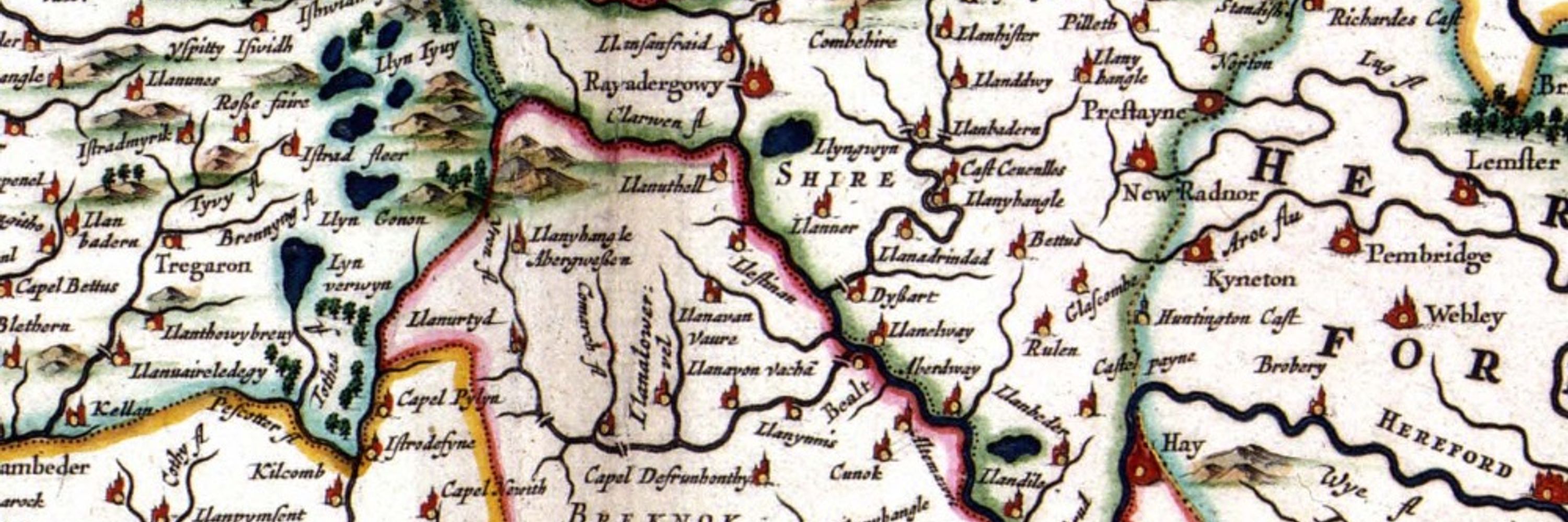
Mapping the March: Medieval Wales and England aims to create the first holistic cultural history of the medieval March of Wales, the borderlands between Wales and England, occupied by a diverse population of Welsh and English speakers between 1282-1550.
"We’re a small volunteer-run charity responsible for Snodhill Castle located in the Herefordshire Marches some 7 miles east of Hay on Wye. Limited documentary research has been carried out but archaeology is revealing a larger and more unusual castle than we first thought."
July 15, 2025 at 4:58 PM
"We’re a small volunteer-run charity responsible for Snodhill Castle located in the Herefordshire Marches some 7 miles east of Hay on Wye. Limited documentary research has been carried out but archaeology is revealing a larger and more unusual castle than we first thought."
Our database of people and their connections to places and manuscripts across the Welsh Marches is progressing! Starting to reconstruct individual networks from piles of rolls is very exciting as there's so much potential for how users of our database/website will use the data for their own research

July 10, 2025 at 9:25 AM
Our database of people and their connections to places and manuscripts across the Welsh Marches is progressing! Starting to reconstruct individual networks from piles of rolls is very exciting as there's so much potential for how users of our database/website will use the data for their own research