


Kirk Scanlan
@kirkscanlan.bsky.social
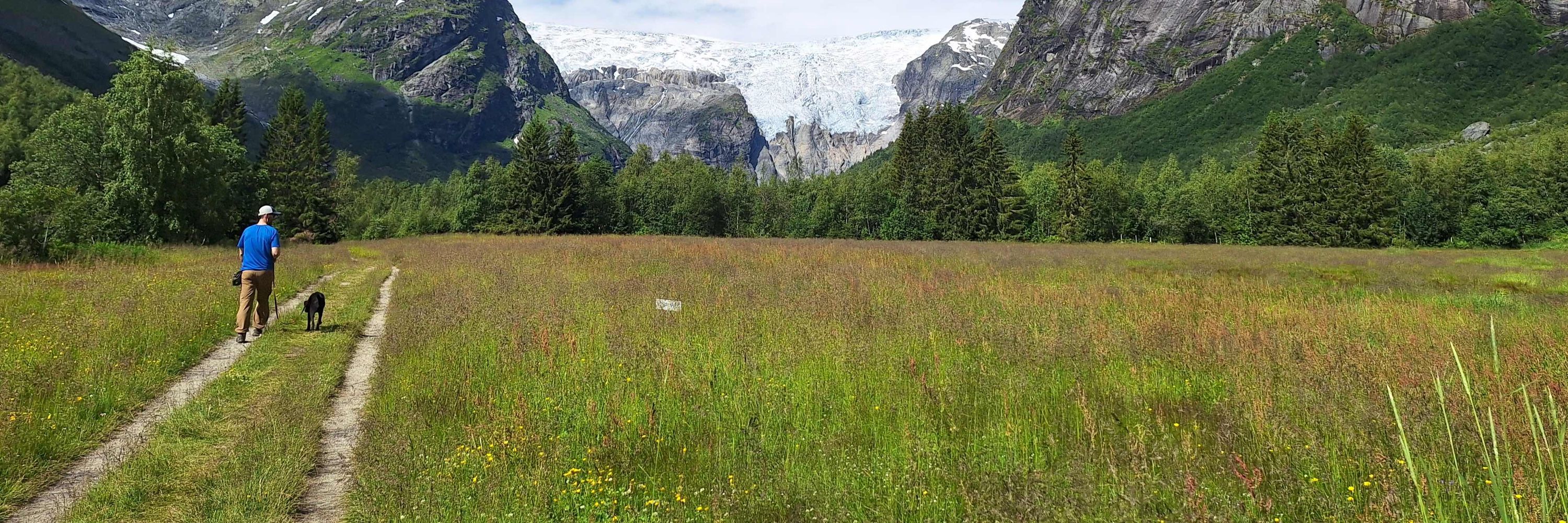
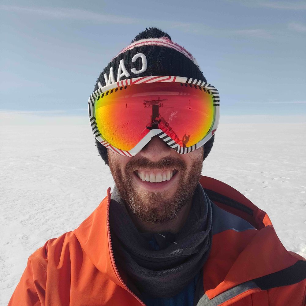
By day, using radar remote sensing to study icy surfaces at DTU Space. Rest of my time spent reading, walking my dog, hiking, running, camping, climbing, ice hockey, and board games. Views are my own.
Brand new website for the Cryo Group at DTU is now live! Thanks to @reneefredensborg.bsky.social for making us look so good 🤪
www.space.dtu.dk/english/rese...
www.space.dtu.dk/english/rese...
Cryosphere
In the Cryosphere Research Group at DTU Space, we monitor the recent and ongoing changes of the ice-covered regions of the Earth, including ice sheets and sea ice, using observations from satellites, aircraft and ground. During the past decades, satellites have observed a decline in sea ice and an increased mass loss of the Greenland ice sheet. Our research leads to an increasingly accurate understanding of these rapid changes, thus enabling society to mitigate climate change.
www.space.dtu.dk
September 9, 2025 at 11:35 AM
Brand new website for the Cryo Group at DTU is now live! Thanks to @reneefredensborg.bsky.social for making us look so good 🤪
www.space.dtu.dk/english/rese...
www.space.dtu.dk/english/rese...
Reposted by Kirk Scanlan
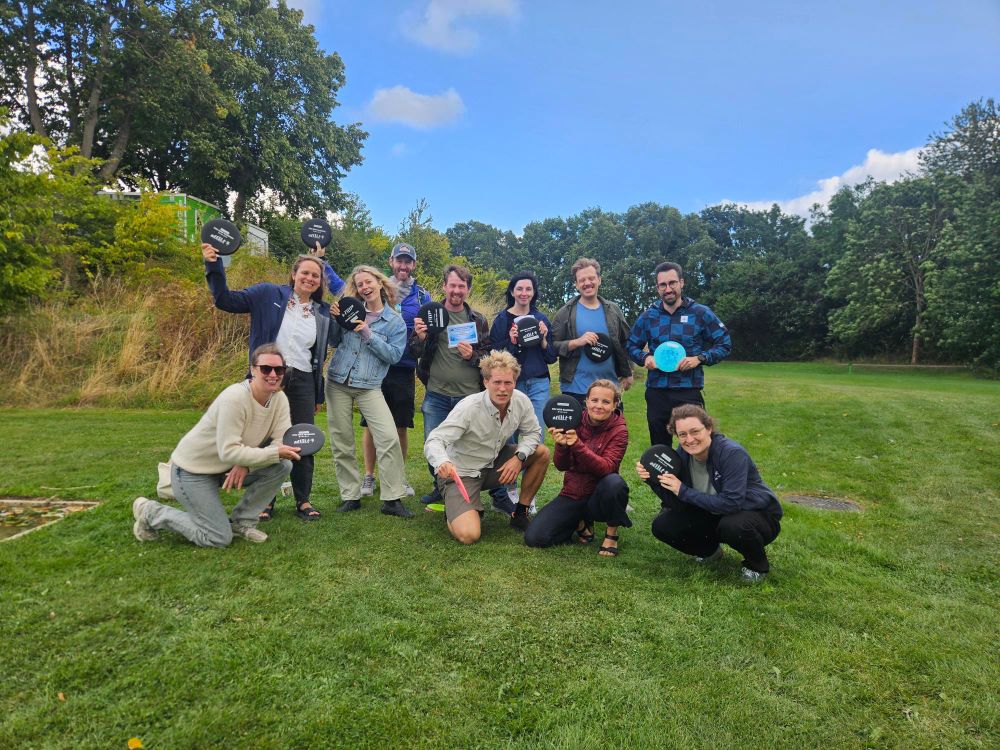
Congratulations to DJ Upside Down Turtle and DJ Disco Disc for their triumph in the inaugural Cryosphere Group Disc Golf Championship! 🥳🥳
A lovely afternoon spent with great colleagues and only "a few" discs had to be dug out of trees or fished out of water. Time to start practicing for next year 🙃
A lovely afternoon spent with great colleagues and only "a few" discs had to be dug out of trees or fished out of water. Time to start practicing for next year 🙃


August 25, 2025 at 7:06 AM
Congratulations to DJ Upside Down Turtle and DJ Disco Disc for their triumph in the inaugural Cryosphere Group Disc Golf Championship! 🥳🥳
A lovely afternoon spent with great colleagues and only "a few" discs had to be dug out of trees or fished out of water. Time to start practicing for next year 🙃
A lovely afternoon spent with great colleagues and only "a few" discs had to be dug out of trees or fished out of water. Time to start practicing for next year 🙃

Reposted by Kirk Scanlan
Exciting news from our team to start the weekend! 🎉Our own eo4cryo.bsky.social has joined the Strategic Advisory Board for the EU’s #DestinationEarth initiative 🌍 Read more about the expectations for the initiative and @eo4cryo.bsky.social's role here: www.dtu.dk/english/news...

DTU researcher joins EU Advisory Board to advance climate understanding
Sebastian Bjerregaard Simonsen, Senior Researcher at DTU Space, has been appointed to the EU Advisory Board for Destination Earth – an initiative developing a digital twin of the planet to improve und...
www.dtu.dk
August 8, 2025 at 1:34 PM
Exciting news from our team to start the weekend! 🎉Our own eo4cryo.bsky.social has joined the Strategic Advisory Board for the EU’s #DestinationEarth initiative 🌍 Read more about the expectations for the initiative and @eo4cryo.bsky.social's role here: www.dtu.dk/english/news...
So exciting! Congrats to the @europaclipper.bsky.social and REASON teams. A huge milestone on the way out to Jupiter!
www.nasa.gov/missions/eur...
www.nasa.gov/missions/eur...

NASA’s Europa Clipper Radar Instrument Proves Itself at Mars - NASA
The agency’s largest interplanetary probe tested its radar during a Mars flyby. The results include a detailed image and bode well for the mission at
www.nasa.gov
August 8, 2025 at 6:54 AM
So exciting! Congrats to the @europaclipper.bsky.social and REASON teams. A huge milestone on the way out to Jupiter!
www.nasa.gov/missions/eur...
www.nasa.gov/missions/eur...
And why not one more while we're at it. Have you ever wondered how surface conditions across #Greenland change with time? Us too! Here we recovered 11 years of "surface" density changes from satellite altimetry. A whole new window into how Greenland is changing. doi.org/10.1038/s415...

Novel insight into the spatiotemporal distribution of Greenland ice sheet surface densities from eleven years of satellite radar altimetry - Scientific Reports
Scientific Reports - Novel insight into the spatiotemporal distribution of Greenland ice sheet surface densities from eleven years of satellite radar altimetry
doi.org
August 8, 2025 at 6:29 AM
And why not one more while we're at it. Have you ever wondered how surface conditions across #Greenland change with time? Us too! Here we recovered 11 years of "surface" density changes from satellite altimetry. A whole new window into how Greenland is changing. doi.org/10.1038/s415...
Better late than never. Big thanks to @anja-ruti.bsky.social and @eo4cryo.bsky.social for all their help as we try to unravel #Greenland Ice Sheet surface roughness from radar altimetry. Hat tip to the @esa.int Living Planet Fellowship program for supporting this work! doi.org/10.5194/tc-1...

Greenland Ice Sheet surface roughness from Ku- and Ka-band radar altimetry surface echo strengths
Abstract. Surface roughness is an important factor to consider when modelling mass changes at the Greenland Ice Sheet (GrIS) surface (i.e., surface mass balance, SMB). This is because it can have impo...
doi.org
August 8, 2025 at 6:18 AM
Better late than never. Big thanks to @anja-ruti.bsky.social and @eo4cryo.bsky.social for all their help as we try to unravel #Greenland Ice Sheet surface roughness from radar altimetry. Hat tip to the @esa.int Living Planet Fellowship program for supporting this work! doi.org/10.5194/tc-1...