


Harrison Cole
@harrisoncarto.bsky.social
Cartographer, Geography PhD | mapmaking • design • art • birds | he/him
Pinned


This is a thread of physical maps– not just printed maps or maps on signs, and mostly not globes (maybe some), but those that somehow utilize their dimensionality. I might also include maps that have a sensory component, but they have to have physical presence. Or not. We'll see!
Reposted by Harrison Cole


I’m struck by how even the distribution is here.
There are more points in major cities, sure. But so many other thematic maps of the US show massive empty swathes between cities, or around the Rockies, or in the South, or whatever. Not the case here.
There are more points in major cities, sure. But so many other thematic maps of the US show massive empty swathes between cities, or around the Rockies, or in the South, or whatever. Not the case here.

The Impact Map or Federal Cuts Tracker Map is finally live‼️
Check the 🗺️ out theimpactproject.org/the-impact-m...
Explore how federal cuts are affecting your state or community and share this WIDELY 🙏🏼🙏🏼🙏🏼
Check the 🗺️ out theimpactproject.org/the-impact-m...
Explore how federal cuts are affecting your state or community and share this WIDELY 🙏🏼🙏🏼🙏🏼
April 2, 2025 at 10:49 AM
I’m struck by how even the distribution is here.
There are more points in major cities, sure. But so many other thematic maps of the US show massive empty swathes between cities, or around the Rockies, or in the South, or whatever. Not the case here.
There are more points in major cities, sure. But so many other thematic maps of the US show massive empty swathes between cities, or around the Rockies, or in the South, or whatever. Not the case here.
When faced with map elements that straddle two features of different values (such as the arrows on the left map), I’ve never considered just… making them both black and white. It works visually! And no need for halos.
The Richard Edes Harrison endpaper maps for Cornelius Ryan's The Longest Day are excellent. Have probably said it before and will probably say it again.


March 14, 2025 at 1:45 AM
When faced with map elements that straddle two features of different values (such as the arrows on the left map), I’ve never considered just… making them both black and white. It works visually! And no need for halos.
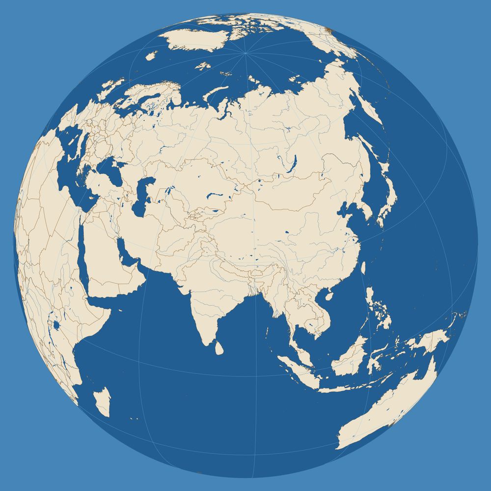
Ah, the classic D20 projection

February 21, 2025 at 5:06 PM
Ah, the classic D20 projection
Reposted by Harrison Cole

16TB archive of data.gov has been released on @source.coop, featuring over 311,000 datasets collected during 2024 & 2025, a complete archive of federal public datasets.
An initiative of Radiant Earth, Source is proud to support efforts that make open data more accessible and usable for all.
An initiative of Radiant Earth, Source is proud to support efforts that make open data more accessible and usable for all.
February 6, 2025 at 11:22 PM
16TB archive of data.gov has been released on @source.coop, featuring over 311,000 datasets collected during 2024 & 2025, a complete archive of federal public datasets.
An initiative of Radiant Earth, Source is proud to support efforts that make open data more accessible and usable for all.
An initiative of Radiant Earth, Source is proud to support efforts that make open data more accessible and usable for all.
Reposted by Harrison Cole
Finished a map of meaderies in Texas! I’m doing two challenges with this map: 1) Use more color and have more fun, 2) Complete a final draft and immediately publish it instead of poking things around for an additional week.

January 11, 2025 at 5:13 PM
Finished a map of meaderies in Texas! I’m doing two challenges with this map: 1) Use more color and have more fun, 2) Complete a final draft and immediately publish it instead of poking things around for an additional week.
Finished a map of meaderies in Texas! I’m doing two challenges with this map: 1) Use more color and have more fun, 2) Complete a final draft and immediately publish it instead of poking things around for an additional week.
January 11, 2025 at 5:13 PM
Finished a map of meaderies in Texas! I’m doing two challenges with this map: 1) Use more color and have more fun, 2) Complete a final draft and immediately publish it instead of poking things around for an additional week.
This is a thread of physical maps– not just printed maps or maps on signs, and mostly not globes (maybe some), but those that somehow utilize their dimensionality. I might also include maps that have a sensory component, but they have to have physical presence. Or not. We'll see!
January 7, 2025 at 2:03 PM
This is a thread of physical maps– not just printed maps or maps on signs, and mostly not globes (maybe some), but those that somehow utilize their dimensionality. I might also include maps that have a sensory component, but they have to have physical presence. Or not. We'll see!
Reposted by Harrison Cole
#30DayMapChallenge Day 27: Micromapping
Not much time today so had to rush this one...
I took Micromapping literally and created a map of Teabeigh Freeowfry, based on the Roland TB303 circuit board.
observablehq.com/@jwolondon/t...
Not much time today so had to rush this one...
I took Micromapping literally and created a map of Teabeigh Freeowfry, based on the Roland TB303 circuit board.
observablehq.com/@jwolondon/t...


November 28, 2024 at 12:49 AM
#30DayMapChallenge Day 27: Micromapping
Not much time today so had to rush this one...
I took Micromapping literally and created a map of Teabeigh Freeowfry, based on the Roland TB303 circuit board.
observablehq.com/@jwolondon/t...
Not much time today so had to rush this one...
I took Micromapping literally and created a map of Teabeigh Freeowfry, based on the Roland TB303 circuit board.
observablehq.com/@jwolondon/t...
Reposted by Harrison Cole

Are "computer maps" interesting over here? archive.org/details/NASA... archive.org/details/NASA... archive.org/details/geog...
archive.org/details/indu...
archive.org/details/indu...


November 25, 2024 at 4:50 PM
Are "computer maps" interesting over here? archive.org/details/NASA... archive.org/details/NASA... archive.org/details/geog...
archive.org/details/indu...
archive.org/details/indu...
Reposted by Harrison Cole

Posted this before I gained ~400 followers after the Great Migration. Want to share it with the new (and “new”) folks!
I wanted to challenge myself to use more color in a map. Pretty happy with the result— heavy inspiration taken from Frank Lloyd Wright’s stained glass designs, of course. The map itself just includes places named “Harrison”. “Harrison Township” e.g. were excluded.


November 24, 2024 at 7:09 PM
Posted this before I gained ~400 followers after the Great Migration. Want to share it with the new (and “new”) folks!
Does anyone else listen to themed playlists while mapping? I’m creating a map of Eastern Europe right now and listening to Beirut’s first album and EPs. When I was making a map of West Africa I listened to a lot of highlife, etc.
November 19, 2024 at 11:16 PM
Does anyone else listen to themed playlists while mapping? I’m creating a map of Eastern Europe right now and listening to Beirut’s first album and EPs. When I was making a map of West Africa I listened to a lot of highlife, etc.
I wanted to challenge myself to use more color in a map. Pretty happy with the result— heavy inspiration taken from Frank Lloyd Wright’s stained glass designs, of course. The map itself just includes places named “Harrison”. “Harrison Township” e.g. were excluded.
November 12, 2024 at 4:34 PM
I wanted to challenge myself to use more color in a map. Pretty happy with the result— heavy inspiration taken from Frank Lloyd Wright’s stained glass designs, of course. The map itself just includes places named “Harrison”. “Harrison Township” e.g. were excluded.
Maybe I'm late to the game but I just came across this unbelievable treasure trove of CC0 cartography brushes from @kmalexander.bsky.social. Can't wait to try these out: kmalexander.com/free-stuff/f...


November 11, 2024 at 4:18 PM
Maybe I'm late to the game but I just came across this unbelievable treasure trove of CC0 cartography brushes from @kmalexander.bsky.social. Can't wait to try these out: kmalexander.com/free-stuff/f...
Reposted by Harrison Cole

Over the last difficult, grief-filled month I've found some solace in making. I'm happy to finally be able to share something with you:
Every Bird is a series of artworks celebrating the astounding diversity of the world's birds and the tenacity of its birders. 🪶📊
www.jerthorp.me/post/every-b...
Every Bird is a series of artworks celebrating the astounding diversity of the world's birds and the tenacity of its birders. 🪶📊
www.jerthorp.me/post/every-b...

Every Bird.
Every Bird is a series of artworks celebrating the astounding diversity of the world's birds and the dedication and tenacity of its birders
www.jerthorp.me
November 10, 2024 at 7:00 PM
Over the last difficult, grief-filled month I've found some solace in making. I'm happy to finally be able to share something with you:
Every Bird is a series of artworks celebrating the astounding diversity of the world's birds and the tenacity of its birders. 🪶📊
www.jerthorp.me/post/every-b...
Every Bird is a series of artworks celebrating the astounding diversity of the world's birds and the tenacity of its birders. 🪶📊
www.jerthorp.me/post/every-b...
This is a thread of lighthouse maps. While there's no set criteria for what I post here, I focus on multivariate maps. This first map is exemplary: New Zealand lighthouse chart of general coast and principal harbour lights, 1900, by Augustus Koch. src: ndhadeliver.natlib.govt.nz/delivery/Del...

November 10, 2024 at 6:47 PM
This is a thread of lighthouse maps. While there's no set criteria for what I post here, I focus on multivariate maps. This first map is exemplary: New Zealand lighthouse chart of general coast and principal harbour lights, 1900, by Augustus Koch. src: ndhadeliver.natlib.govt.nz/delivery/Del...