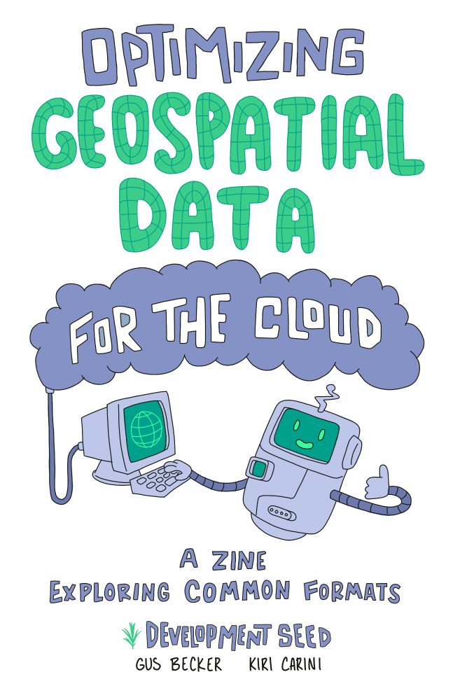
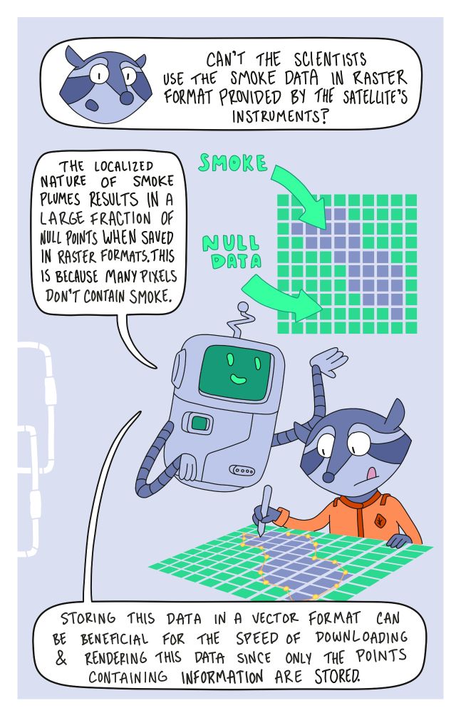
The zine provides a visually interesting jumping off point for folks learning cloud-native geospatial data!


It's really lovely and I hope you watch it!
youtu.be/Dj9uKpk3Idk?...
It's really lovely and I hope you watch it!
youtu.be/Dj9uKpk3Idk?...

The zine provides a visually interesting jumping off point for folks learning cloud-native geospatial data!


The zine provides a visually interesting jumping off point for folks learning cloud-native geospatial data!
Made with QGIS & Blender using:
🌱 ESRI Land Cover (EarthMap)
🏔️ DEM from DivaGIS (CGIAR SRTM)
Forests, croplands, wetlands & cities — mapped to show the patterns shaping America's surface.
#USA #LandCover #QGIS #Blender #Cartography #GISChat #RemoteSensing #Map #OpenData
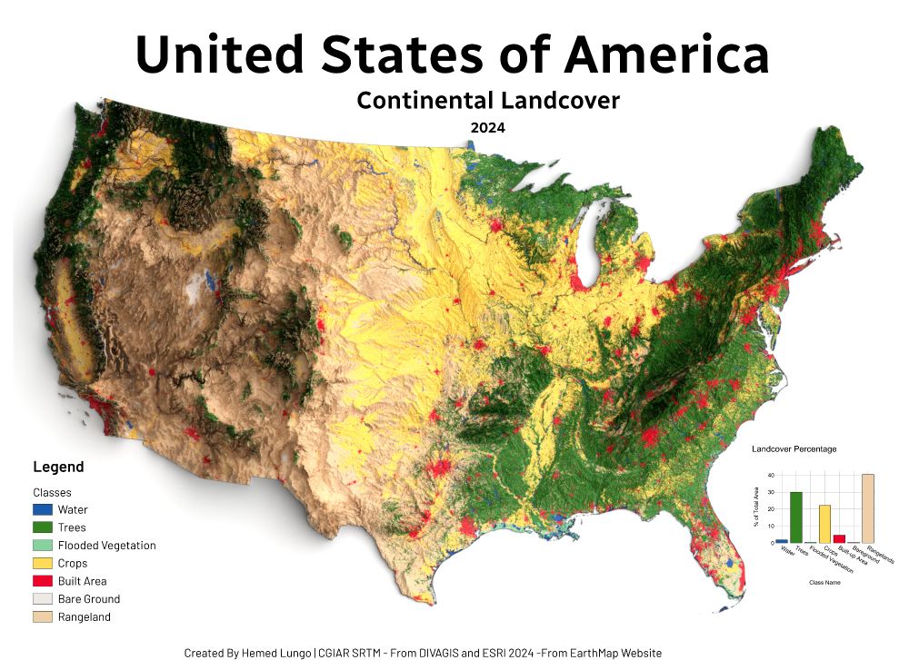
Made with QGIS & Blender using:
🌱 ESRI Land Cover (EarthMap)
🏔️ DEM from DivaGIS (CGIAR SRTM)
Forests, croplands, wetlands & cities — mapped to show the patterns shaping America's surface.
#USA #LandCover #QGIS #Blender #Cartography #GISChat #RemoteSensing #Map #OpenData

