


Reposted
Join us at the Geospatial Tech Meetup in Munich, 10. July! Speakers from OroraTech, Ocell, Huawei. Chill chats after, everyone is welcome and super welcoming! meetu.ps/e/P7p3Q/BHlr...
🌍 Geospatial Tech Meetup – Explore, Connect, Innovate!, Thu, Jul 10, 2025, 6:30 PM | Meetup
Hey geoawesome folks and map lovers! We’ve got an epic **Geospatial Technology Meetup** coming your way – and you’re invited!
Come hang out with fellow geo-geeks, data wiz
meetu.ps
June 27, 2025 at 2:11 PM
Join us at the Geospatial Tech Meetup in Munich, 10. July! Speakers from OroraTech, Ocell, Huawei. Chill chats after, everyone is welcome and super welcoming! meetu.ps/e/P7p3Q/BHlr...
📢 #Geoawesome Munich is back! Join us on July 10th at OroraTech's office for our next geo-gathering! Expect great conversations, networking, and all things #geospatial 🌍.
RSVP/Details here: www.meetup.com/munich-geoaw...
RSVP/Details here: www.meetup.com/munich-geoaw...

Geoawesome Munich, Thu, Jul 10, 2025, 6:30 PM | Meetup
## Geospatial Technology Meetup: Explore, Connect, Innovate! 🌍🗺️
Calling all geoaweome people and map enthusiasts! Join us for an exciting meetup dedicated to **geospati
www.meetup.com
June 18, 2025 at 7:38 AM
📢 #Geoawesome Munich is back! Join us on July 10th at OroraTech's office for our next geo-gathering! Expect great conversations, networking, and all things #geospatial 🌍.
RSVP/Details here: www.meetup.com/munich-geoaw...
RSVP/Details here: www.meetup.com/munich-geoaw...
Exciting day at the office today as #OroraTech sends Constellation Phase 1 to orbit! 🚀
Liftoff ~16:30 CET.
Make sure and tune into the launch stream of our “Finding Hot Wildfires Near You” mission about 30 mins prior using the link below.
Liftoff ~16:30 CET.
Make sure and tune into the launch stream of our “Finding Hot Wildfires Near You” mission about 30 mins prior using the link below.

Wet Dress Rehearsal is complete and Electron is ready for launch!
“Finding Hot Wildfires Near You” for OroraTech is scheduled for lift-off from Launch complex 1 in less than 48 hours.
Mission info: bit.ly/3xAxsql
“Finding Hot Wildfires Near You” for OroraTech is scheduled for lift-off from Launch complex 1 in less than 48 hours.
Mission info: bit.ly/3xAxsql

March 26, 2025 at 2:08 PM
Exciting day at the office today as #OroraTech sends Constellation Phase 1 to orbit! 🚀
Liftoff ~16:30 CET.
Make sure and tune into the launch stream of our “Finding Hot Wildfires Near You” mission about 30 mins prior using the link below.
Liftoff ~16:30 CET.
Make sure and tune into the launch stream of our “Finding Hot Wildfires Near You” mission about 30 mins prior using the link below.
Reposted

We have updated our wildfire summary for 2024 with the latest #CopernicusAtmosphere data from December. Last year, North and South America saw the most wildfire activity.
Dive into the analysis, charts and data: https://bit.ly/4ai4ydO
Dive into the analysis, charts and data: https://bit.ly/4ai4ydO
January 16, 2025 at 10:30 AM
We have updated our wildfire summary for 2024 with the latest #CopernicusAtmosphere data from December. Last year, North and South America saw the most wildfire activity.
Dive into the analysis, charts and data: https://bit.ly/4ai4ydO
Dive into the analysis, charts and data: https://bit.ly/4ai4ydO
Reposted
Overnight, a large #wildfire sprung up near #Malibu, CA, USA.
Here's how it looked from the Chinese weather sat FY-3G (left, B&W) and the European Sentinel-3 mission (right, color).
Satellites are an essential tool for early detection of wildfires, especially in remote areas.
Data: CMA + ESA
Here's how it looked from the Chinese weather sat FY-3G (left, B&W) and the European Sentinel-3 mission (right, color).
Satellites are an essential tool for early detection of wildfires, especially in remote areas.
Data: CMA + ESA


December 10, 2024 at 8:15 PM
Reposted
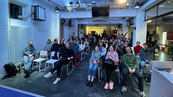
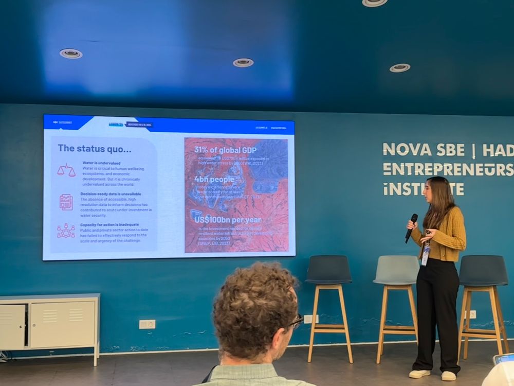
Lightning talks at #SatSummit hit different; I’m always impressed by the diversity of topics, missions, and learning about these world saving technologies. These are always my favorite sessions.


November 19, 2024 at 11:33 AM
Lightning talks at #SatSummit hit different; I’m always impressed by the diversity of topics, missions, and learning about these world saving technologies. These are always my favorite sessions.