


Dr Karen Joyce
@drkjoyce.bsky.social
🌏🛰️ #Earthobservation #remotesensing #geospatial #dronemapping | Co-founder She Maps and GeoNadir | Assoc/Prof JCU | she/her |🔗https://linktr.ee/drkjoyce
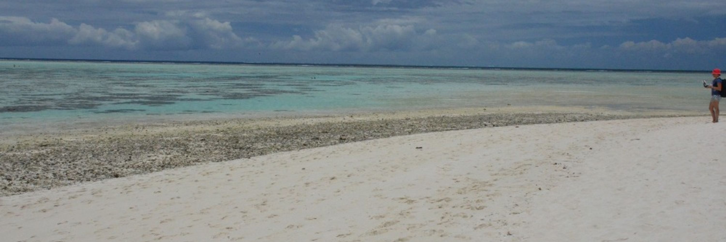
Hi ho, hi ho, it’s off to map we go
@sawsharkman.bsky.social
@sawsharkman.bsky.social

May 29, 2025 at 2:20 AM
Hi ho, hi ho, it’s off to map we go
@sawsharkman.bsky.social
@sawsharkman.bsky.social
You might assume that Lizard Island is pristine, but it's not immune from the effects of litter. Unfortunately it was all too easy and fast to collect this haul.

May 28, 2025 at 1:04 AM
You might assume that Lizard Island is pristine, but it's not immune from the effects of litter. Unfortunately it was all too easy and fast to collect this haul.


Reposted by Dr Karen Joyce
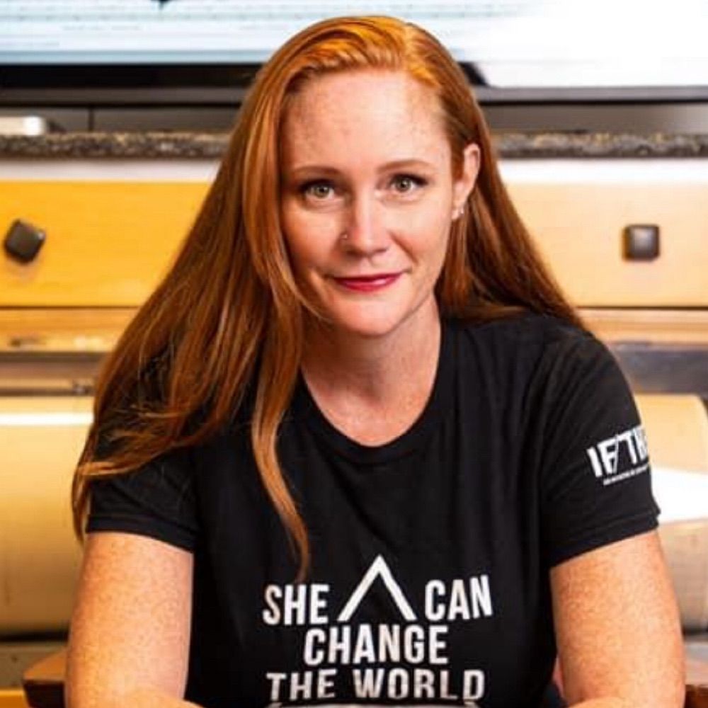
Make a difference this summer -- Join @cmshintani.bsky.social and me for an internship at @woodwellclimate.bsky.social and contribute to critical research on climate change.
Apply now: bit.ly/4l5D93W
Apply now: bit.ly/4l5D93W

March 25, 2025 at 7:01 PM
Make a difference this summer -- Join @cmshintani.bsky.social and me for an internship at @woodwellclimate.bsky.social and contribute to critical research on climate change.
Apply now: bit.ly/4l5D93W
Apply now: bit.ly/4l5D93W
Reposted by Dr Karen Joyce

Loving the patterns in this natural rock shelf off Jervis Bay, New South Wales! Any geologist or geomorphologist out there who can shed some light on how they form?
Thank you to Graham Doig, UNSW for sharing
data.geonadir.com/image-collec...
#geology #geomorphology #dronemapping
Thank you to Graham Doig, UNSW for sharing
data.geonadir.com/image-collec...
#geology #geomorphology #dronemapping

March 24, 2025 at 2:00 AM
Loving the patterns in this natural rock shelf off Jervis Bay, New South Wales! Any geologist or geomorphologist out there who can shed some light on how they form?
Thank you to Graham Doig, UNSW for sharing
data.geonadir.com/image-collec...
#geology #geomorphology #dronemapping
Thank you to Graham Doig, UNSW for sharing
data.geonadir.com/image-collec...
#geology #geomorphology #dronemapping
Reposted by Dr Karen Joyce
Breathe deeply...
Puerto Maldonado, Peru by clturner23 via GeoNadir
#dronemapping #forest #biomass #Earthobservation
Puerto Maldonado, Peru by clturner23 via GeoNadir
#dronemapping #forest #biomass #Earthobservation

December 9, 2024 at 9:00 AM
Breathe deeply...
Puerto Maldonado, Peru by clturner23 via GeoNadir
#dronemapping #forest #biomass #Earthobservation
Puerto Maldonado, Peru by clturner23 via GeoNadir
#dronemapping #forest #biomass #Earthobservation
Reposted by Dr Karen Joyce
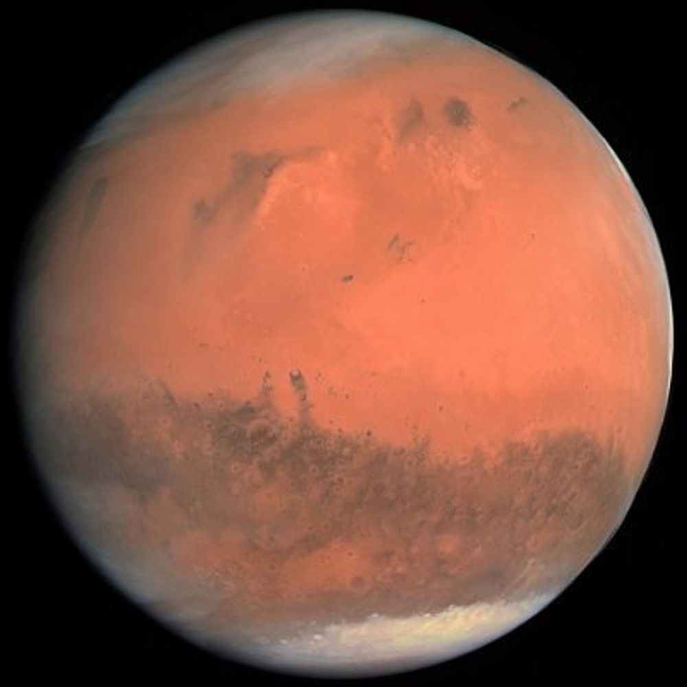
The Piqiang Fault in Xianjing Province.
Image taken by Sentinel-2 on March 7, 2025.
Image taken by Sentinel-2 on March 7, 2025.

March 21, 2025 at 8:46 PM
The Piqiang Fault in Xianjing Province.
Image taken by Sentinel-2 on March 7, 2025.
Image taken by Sentinel-2 on March 7, 2025.
Reposted by Dr Karen Joyce
Some of the ongoing 🛰️🧪 at #NOAA❤️ is illustrated here with an example of automatic detection of dust from the aerosol remote sensing group.
Aerosol detection product (ADP) from the ABI sensor on @noaa.gov GOES-East satellite highlighted the deadly dust storm (yellow) moving across Texas, Oklahoma & Kansas and smoke (lavender) from fast-growing wildfires in Oklahoma on Friday afternoon 14 Mar. @noaacomms.noaa.gov @sangasso.bsky.social
March 18, 2025 at 8:06 PM
Some of the ongoing 🛰️🧪 at #NOAA❤️ is illustrated here with an example of automatic detection of dust from the aerosol remote sensing group.
Reposted by Dr Karen Joyce
Hello #geospatial community! We're working on getting this account up and running as soon as possible! Stay tuned. 💜

March 12, 2025 at 3:09 PM
Hello #geospatial community! We're working on getting this account up and running as soon as possible! Stay tuned. 💜
Reposted by Dr Karen Joyce
This is truly an amazing funding opportunity. Travel funding for US-based students to attend @giscience-conf.bsky.social in New Zealand! docs.google.com/forms/d/e/1F...
docs.google.com
March 18, 2025 at 2:38 PM
This is truly an amazing funding opportunity. Travel funding for US-based students to attend @giscience-conf.bsky.social in New Zealand! docs.google.com/forms/d/e/1F...
Reposted by Dr Karen Joyce
Kaikōura (NZ) literally means "eat crayfish" (kai = food/eat, kōura = crayfish) in Māori, making it a seafood lover’s paradise! It’s also one of the best places in the world to see sperm whales year-round!
Thanks James Driscoll for sharing
Thanks James Driscoll for sharing

March 10, 2025 at 2:00 AM
Kaikōura (NZ) literally means "eat crayfish" (kai = food/eat, kōura = crayfish) in Māori, making it a seafood lover’s paradise! It’s also one of the best places in the world to see sperm whales year-round!
Thanks James Driscoll for sharing
Thanks James Driscoll for sharing
Reposted by Dr Karen Joyce
🚁 Matrice 4 Enterprise vs. Mavic 3 Enterprise – Which one wins for drone mapping?
🚨 Bottom line: If you’re choosing between the M3E and M4E, the decision comes down to cost vs. capability. We break it all down in our latest blog.
Read the full review here: geonadir.com/matrice-4-en...
🚨 Bottom line: If you’re choosing between the M3E and M4E, the decision comes down to cost vs. capability. We break it all down in our latest blog.
Read the full review here: geonadir.com/matrice-4-en...

A review of the Matrice 4 Enterprise (M4E)
We tested the DJI Matrice 4 Enterprise, putting it through its mapping paces and comparing it to the Mavic 3E in capabilities and price.
geonadir.com
March 12, 2025 at 3:01 AM
🚁 Matrice 4 Enterprise vs. Mavic 3 Enterprise – Which one wins for drone mapping?
🚨 Bottom line: If you’re choosing between the M3E and M4E, the decision comes down to cost vs. capability. We break it all down in our latest blog.
Read the full review here: geonadir.com/matrice-4-en...
🚨 Bottom line: If you’re choosing between the M3E and M4E, the decision comes down to cost vs. capability. We break it all down in our latest blog.
Read the full review here: geonadir.com/matrice-4-en...
Reposted by Dr Karen Joyce

Important example showing how synthetic aperture radar (SAR) and optical satellite data are complementary. Here are pairs of images used by Reuters to document gravesites in Sudan’s famine-stricken Zamzam camp.
www.reuters.com/investigates...
Imagery from Umbra (SAR) & Airbus (optical).
www.reuters.com/investigates...
Imagery from Umbra (SAR) & Airbus (optical).

March 11, 2025 at 8:23 PM
Important example showing how synthetic aperture radar (SAR) and optical satellite data are complementary. Here are pairs of images used by Reuters to document gravesites in Sudan’s famine-stricken Zamzam camp.
www.reuters.com/investigates...
Imagery from Umbra (SAR) & Airbus (optical).
www.reuters.com/investigates...
Imagery from Umbra (SAR) & Airbus (optical).
Reposted by Dr Karen Joyce
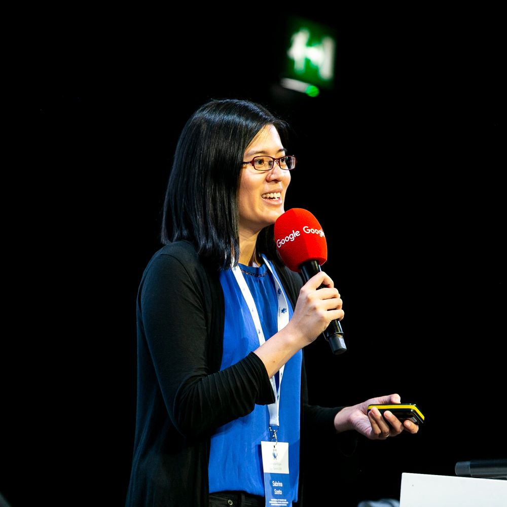
The new episode of #SceneFromAbove is here! Our guest is Swetha Kolluri, who works on #AI and Digital Innovations at the World Bank. Swetha shares how the cloud powers development experiments, and how EO, citizen science and AI can address global challenges.
☕ www.podbean.com/pu/pbblog-8i...
☕ www.podbean.com/pu/pbblog-8i...

March 10, 2025 at 6:17 PM
The new episode of #SceneFromAbove is here! Our guest is Swetha Kolluri, who works on #AI and Digital Innovations at the World Bank. Swetha shares how the cloud powers development experiments, and how EO, citizen science and AI can address global challenges.
☕ www.podbean.com/pu/pbblog-8i...
☕ www.podbean.com/pu/pbblog-8i...
Reposted by Dr Karen Joyce
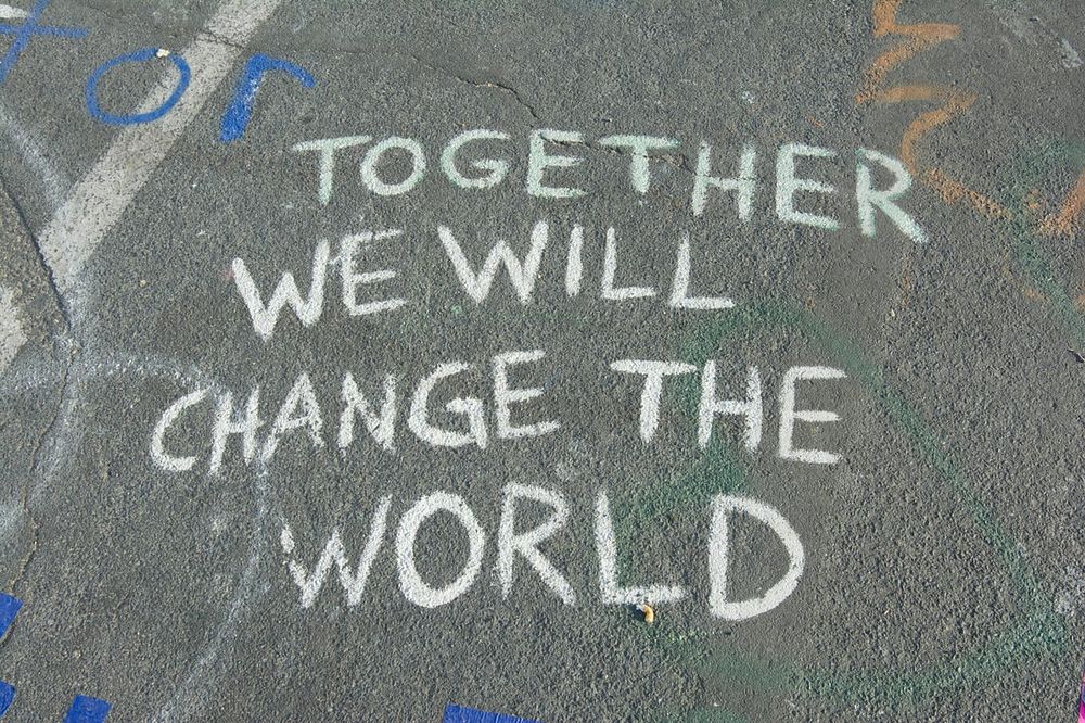
“Today, we recommit ourselves to our collective mission to serve society by making science open, inclusive, and accessible, and to transform society by fighting racism, patriarchy, and oppressive societal norms.”
Join us.
500womenscientists.medium.com/dear-scienti...?
Join us.
500womenscientists.medium.com/dear-scienti...?
Dear scientists: we stand with you and for you
We are witnessing attacks on science and evidence-based policymaking in the U.S. at a scale we have not experienced in our lifetimes. We…
500womenscientists.medium.com
March 8, 2025 at 6:49 PM
“Today, we recommit ourselves to our collective mission to serve society by making science open, inclusive, and accessible, and to transform society by fighting racism, patriarchy, and oppressive societal norms.”
Join us.
500womenscientists.medium.com/dear-scienti...?
Join us.
500womenscientists.medium.com/dear-scienti...?
Reposted by Dr Karen Joyce
DYK that you need to set higher than usual overlap and sidelap parameters when capturing multispectral (and thermal) #dronemapping data? Here's why...
help.geonadir.com/en/articles/...
help.geonadir.com/en/articles/...

Understanding multispectral vs RGB for capture and processing | GeoNadir Help Center
With an increasing number of multispectral drones, it's important to understand the considerations in capture and processing
help.geonadir.com
March 5, 2025 at 1:00 AM
DYK that you need to set higher than usual overlap and sidelap parameters when capturing multispectral (and thermal) #dronemapping data? Here's why...
help.geonadir.com/en/articles/...
help.geonadir.com/en/articles/...
Reposted by Dr Karen Joyce
Yes, it really is this easy.
February 20, 2025 at 1:00 AM
Yes, it really is this easy.
Reposted by Dr Karen Joyce
Our wonderful planet, seen by @eumetsat.bsky.social's #MTG satellite.
I'll never get tired of views like this. Can you see the thunderstorm clouds bubbling up just ahead of the sunset?
I'll never get tired of views like this. Can you see the thunderstorm clouds bubbling up just ahead of the sunset?
February 18, 2025 at 7:24 PM
Our wonderful planet, seen by @eumetsat.bsky.social's #MTG satellite.
I'll never get tired of views like this. Can you see the thunderstorm clouds bubbling up just ahead of the sunset?
I'll never get tired of views like this. Can you see the thunderstorm clouds bubbling up just ahead of the sunset?
Reposted by Dr Karen Joyce
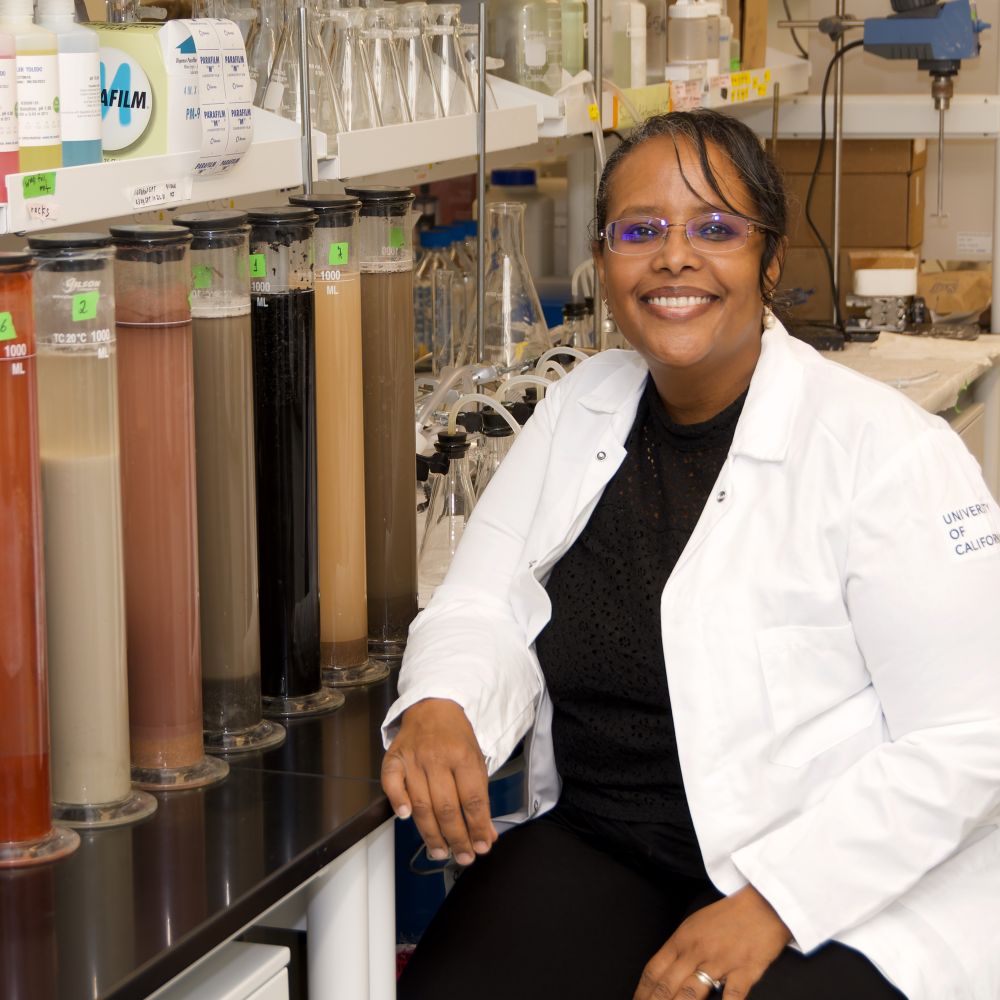
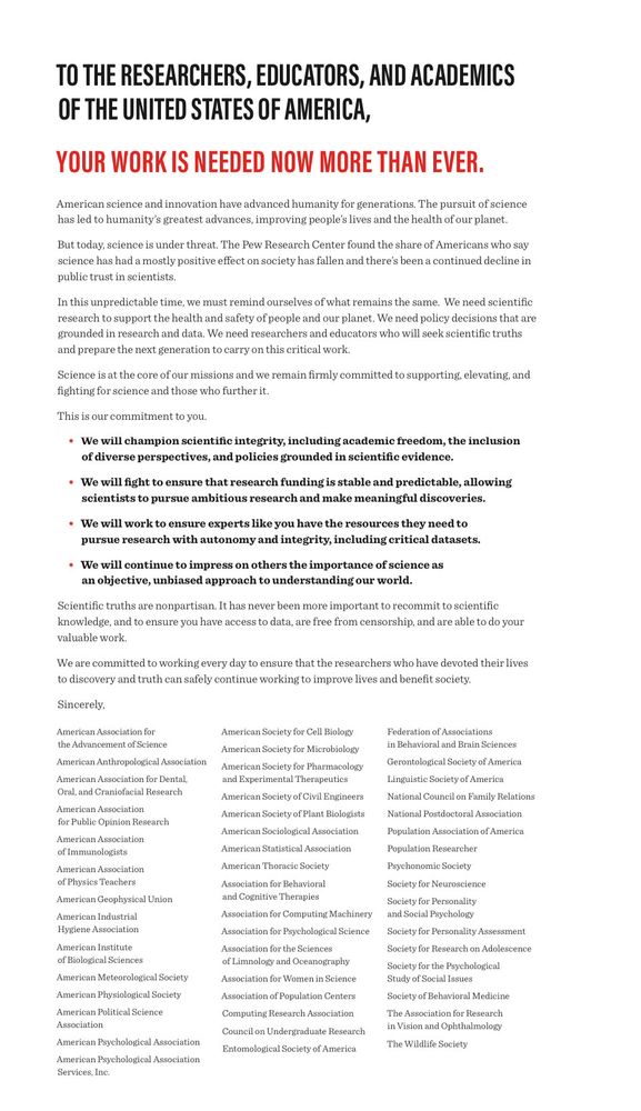
Professional societies stand together in defense of science & scientists.
“science has led to humanity’s greatest advances, improving people’s lives & the health of our planet … (we’re) committed to supporting, elevating, & fighting for science & those who further it.“
www.unitedsciencealliance.org
“science has led to humanity’s greatest advances, improving people’s lives & the health of our planet … (we’re) committed to supporting, elevating, & fighting for science & those who further it.“
www.unitedsciencealliance.org
February 13, 2025 at 3:41 AM
Professional societies stand together in defense of science & scientists.
“science has led to humanity’s greatest advances, improving people’s lives & the health of our planet … (we’re) committed to supporting, elevating, & fighting for science & those who further it.“
www.unitedsciencealliance.org
“science has led to humanity’s greatest advances, improving people’s lives & the health of our planet … (we’re) committed to supporting, elevating, & fighting for science & those who further it.“
www.unitedsciencealliance.org
It’s a lovely office at Lizard Island Research Station! Now I just need the wind to go away…


February 9, 2025 at 7:47 AM
It’s a lovely office at Lizard Island Research Station! Now I just need the wind to go away…
Waiting to take off en route Lizard Island Research Station… hope the weather is better there!
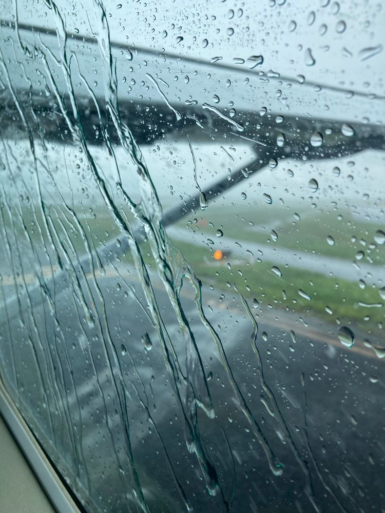
February 8, 2025 at 3:58 AM
Waiting to take off en route Lizard Island Research Station… hope the weather is better there!
☁️Cloud computing at it's best haha :) With most pixels classified at cloud more than 70% of the time at our study site in the Torres Strait, we've had to get creative and use 193 images over two years to build a cloud free Sentinel-2 composite for habitat mapping

February 3, 2025 at 11:37 PM
☁️Cloud computing at it's best haha :) With most pixels classified at cloud more than 70% of the time at our study site in the Torres Strait, we've had to get creative and use 193 images over two years to build a cloud free Sentinel-2 composite for habitat mapping
All maps are wrong, but some are useful! My reefs of interest were missing from the Autel remote controller mission planner. Thankfully we had other data on hand on GeoNadir that we could use for planning to import!
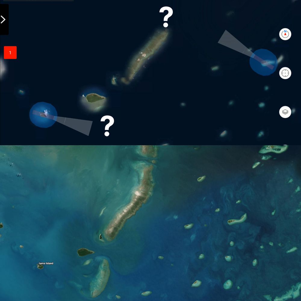
February 2, 2025 at 11:05 PM
All maps are wrong, but some are useful! My reefs of interest were missing from the Autel remote controller mission planner. Thankfully we had other data on hand on GeoNadir that we could use for planning to import!