

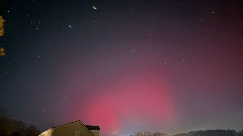
This is my view from Bon Aqua with some light pollution.
This is my view from Bon Aqua with some light pollution.


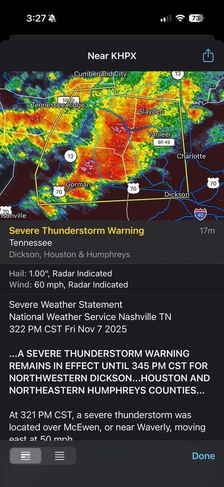
60mph winds and 1 inch hail possible with this storm.
60mph winds and 1 inch hail possible with this storm.
Controlled detonations are expected throughout the day today. Black smoke can be expected.

Controlled detonations are expected throughout the day today. Black smoke can be expected.
Residents near Bucksnort/McEwen may hear controlled explosions at times related to the ongoing investigation from yesterday’s incident.
Advance notice will be posted on social media channels.
I will do my best to share those here.

Residents near Bucksnort/McEwen may hear controlled explosions at times related to the ongoing investigation from yesterday’s incident.
Advance notice will be posted on social media channels.
I will do my best to share those here.
Severe storm moving through the Burns and White Bluff area and will soon be in Cheatham County.
60mph winds and small hail possible with this storm.

Severe storm moving through the Burns and White Bluff area and will soon be in Cheatham County.
60mph winds and small hail possible with this storm.
Dangerously hot conditions with heat index values up to 113.
Heat related illnesses increase significantly during
extreme heat and high humidity events.

Dangerously hot conditions with heat index values up to 113.
Heat related illnesses increase significantly during
extreme heat and high humidity events.


Stay away from windows and doors.

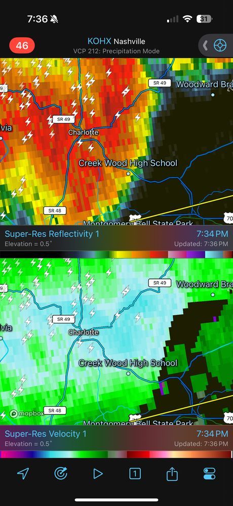
Stay away from windows and doors.

This storm is more a wind and hail threat and has morphed into the main line.

This storm is more a wind and hail threat and has morphed into the main line.


I’m not feeling great about a rain/storm free ceremony from 7-9pm. While entirely possible for no storms, storm line will be close enough to concern me.
This is HRRR model at 7pm, showing storms fairly close.

I’m not feeling great about a rain/storm free ceremony from 7-9pm. While entirely possible for no storms, storm line will be close enough to concern me.
This is HRRR model at 7pm, showing storms fairly close.
Storms can form ahead of this line at any point today.

Storms can form ahead of this line at any point today.
All modes of severe weather is possible.

All modes of severe weather is possible.
Gusty winds and large hail possible with the storm coming over Vanleer and Cumberland Furnace.

Gusty winds and large hail possible with the storm coming over Vanleer and Cumberland Furnace.
A severe storm capable of producing damaging winds and large hail will be coming through the area over the next 30 minutes.

A severe storm capable of producing damaging winds and large hail will be coming through the area over the next 30 minutes.
Just when we were enjoying the quiet weather, spring decides to remind us it's spring in TN which means another chance of severe weather.

Just when we were enjoying the quiet weather, spring decides to remind us it's spring in TN which means another chance of severe weather.
Path: 0.38 miles
Width: 50 yards
On the ground: less than 1 minute

Path: 0.38 miles
Width: 50 yards
On the ground: less than 1 minute
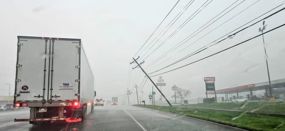
These cloud photos shared have been determined to be a shelf cloud - indicative of a strong line of storms about to move through. It proved that yesterday with the damage path!



These cloud photos shared have been determined to be a shelf cloud - indicative of a strong line of storms about to move through. It proved that yesterday with the damage path!

