Anael Poussier
Anael Poussier
@anaelpoussier.bsky.social
40 followers 100 following 9 posts
French historian (PhD Paris 1 Panthéon-Sorbonne: « Ruling the Unruly: A Provincial History of Eastern Sudan during the Mahdiyya (1883-1891) » / Nineteenth-century history of Sudan and Sudanic Africa / Islamic governmentalities
Posts Media Videos Starter Packs
For those interested, I have been working for quite some time on a bibliography for modern Sudanese history. The PDF is freely available (www.academia.edu/121191857/CBSH_v1_07_24_) and I have also created a Zotero group open to everyone. This is still a work in progress.
CBSH (v1-07.24)
Comprehensive Bibliography of Sudanese History (v1-07.24)
www.academia.edu
Reposted by Anael Poussier
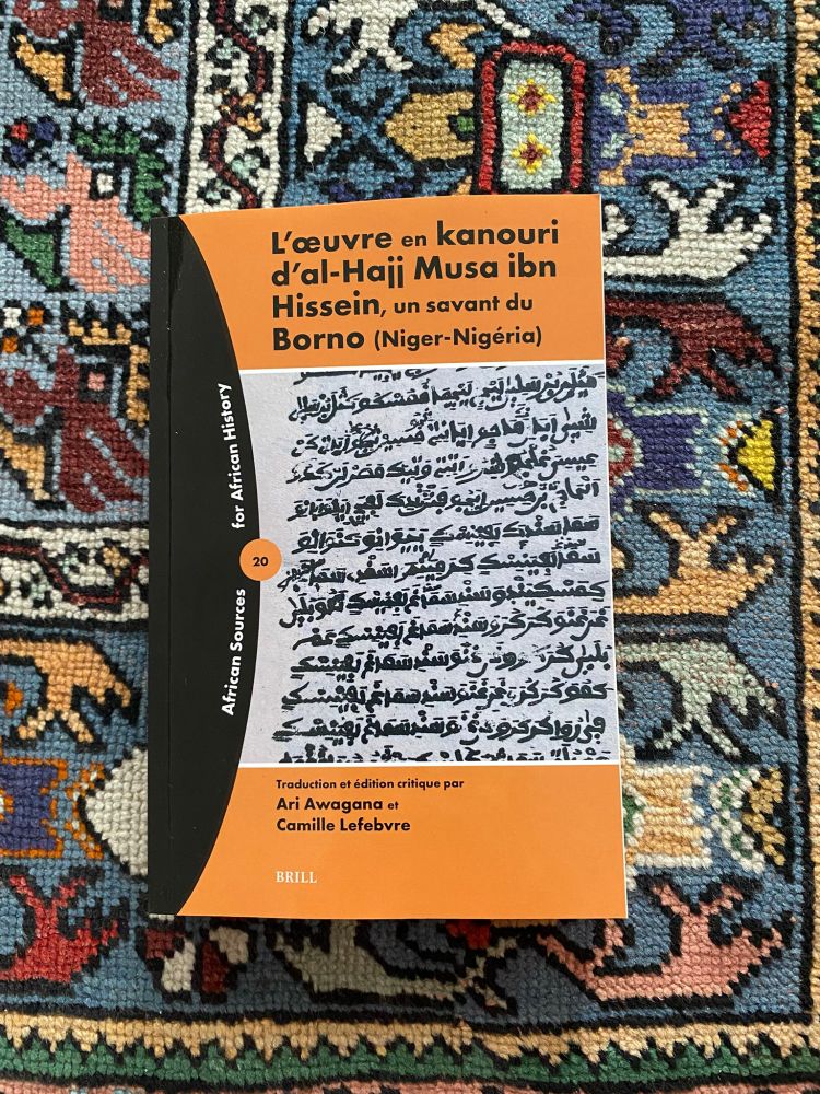
Notre livre est arrivé! Pour fêter cette nouvelle, je vous propose un petit 🧵sur notre chanson préférée du livre avec Ari.

Il s'agit de la chanson XIV "Complainte d'une esclave pour son ami le beau Mamadu qui a été vendu loin à l'étranger"

Un chant entendu par al-Hajj Musa dans les années 1870
Reposted by Anael Poussier
(5) اوقات ممتعة مع الخرائط
A map showing Juan Maria Schuver's short itinerary around Khartoum in March 1883.
Source : Schuver, "Chartum und der ägyptische Sudan", Mittheilungen aus Justus Perthes’ Geographischer Anstalt, vol. 30, 1884, p. 52-57.
On peut même penser qu’il est indécent que les centaines (milliers ?) de fascicules produits par les dpts d’histoire soient inaccessibles pour les profs du secondaire (et au moins à Paris 1 pour les enseignants du supérieur eux-mêmes). Tout ceci devrait être centralisé sur Canopé
(4) اوقات ممتعة مع الخرائط
Eastern Sudan during the Mahdiyya (c. 1889)
اوقات ممتعة مع الخرائط (3)
Upper Nile under the Mahdiyya (c. 1889)
اوقات ممتعة مع الخرائط (2)
Mahdist provincial boundaries (c. 1890)
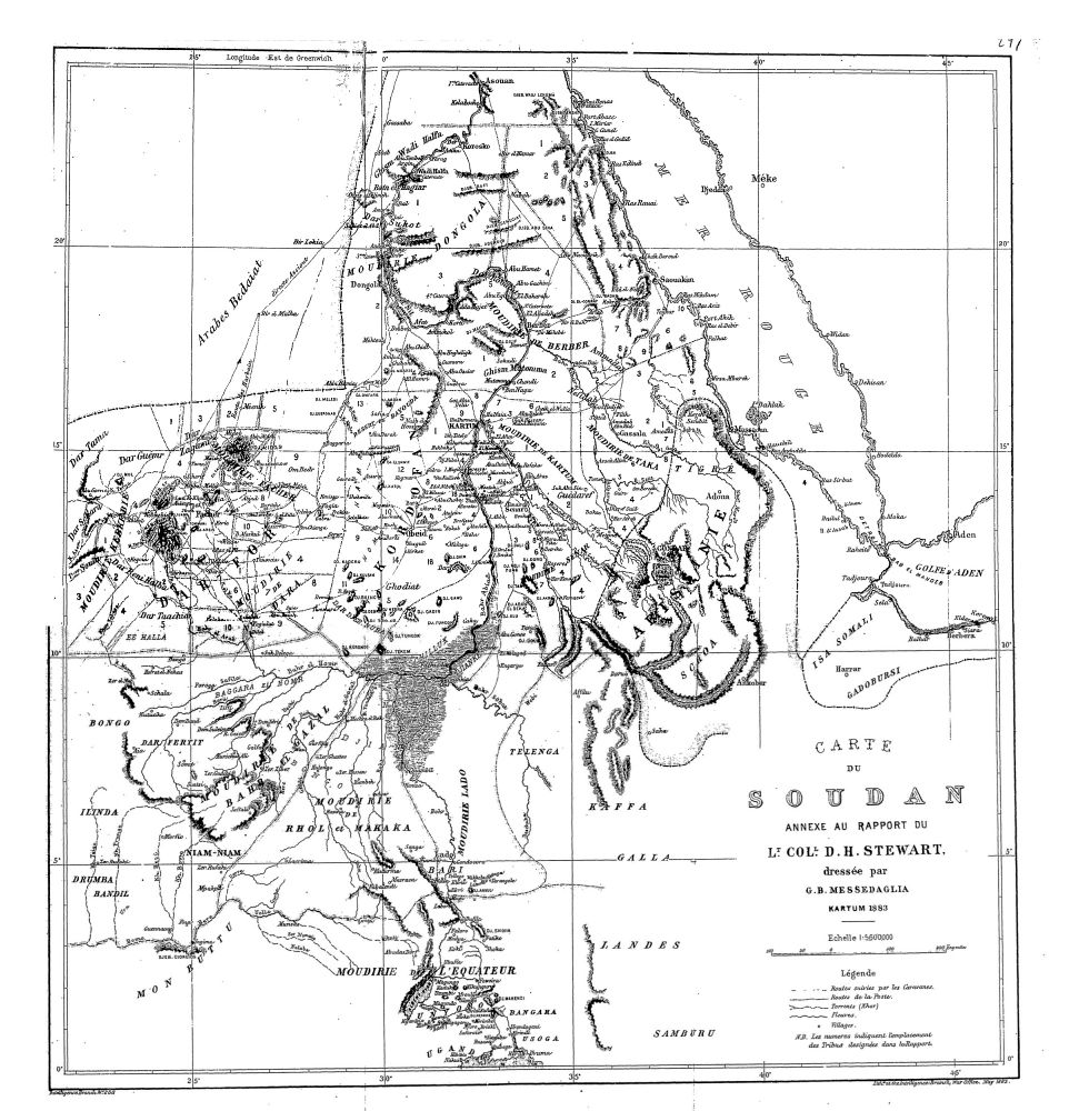
Source: Egypt n°11 (1883), "Report on the Soudan by Lieutenant-Colonel Stewart", London, Harrison & Sons, 1883.
Rare administrative map of Upper Egypt during the Turkiyya (1883)